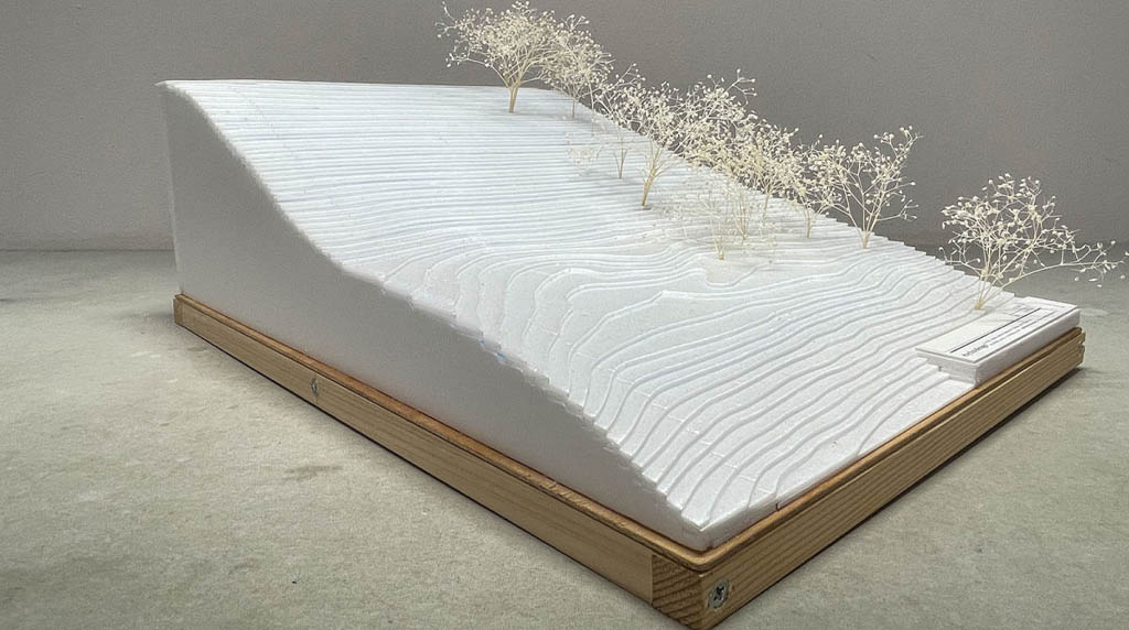
Pix4D used for innovative architectural design approach
Aerial and terrestrial photogrammetry assist with new architectural design approach.


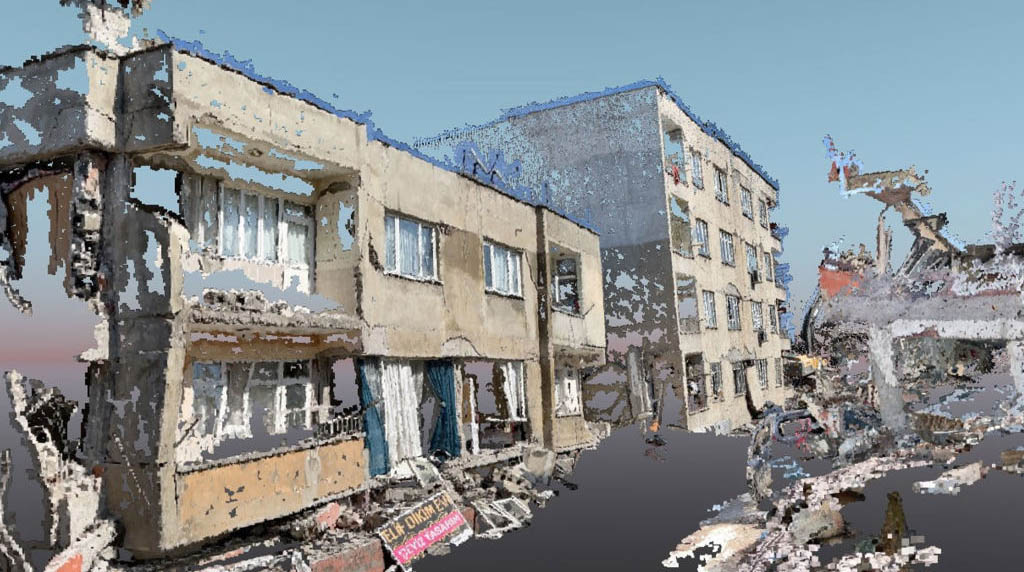
Aerial surveying and mapping with drone images and photogrammetry

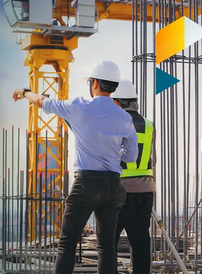
Reduce costs and increase productivity with smarter construction project management

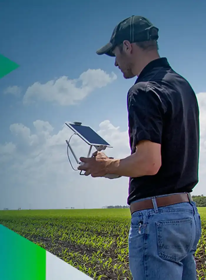
Digitize fields to get next-level crop insights
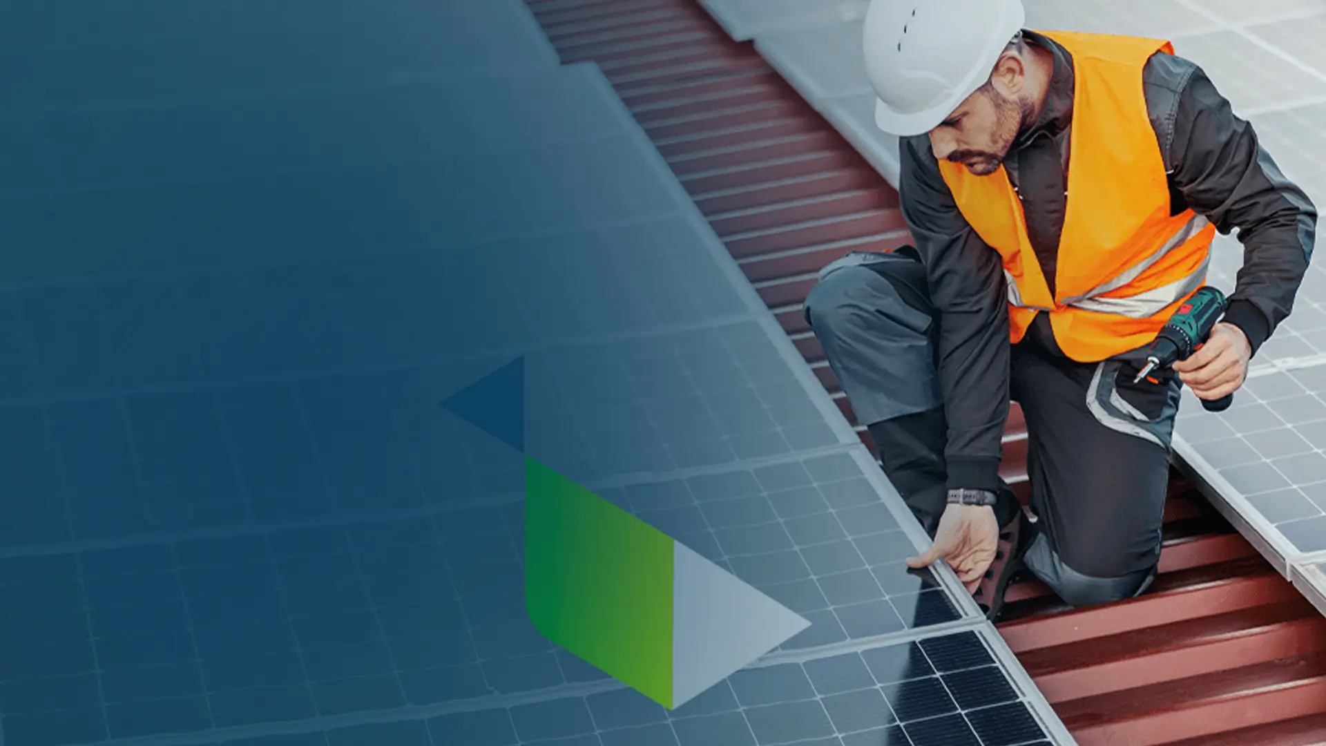
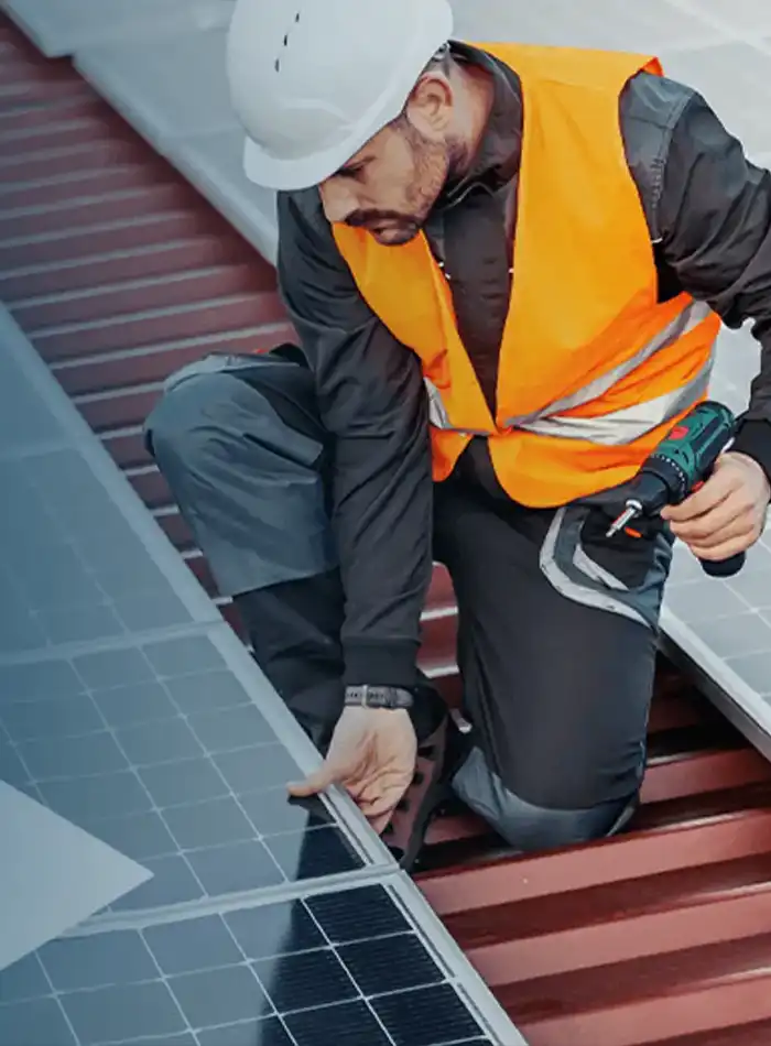
Reduce inspection costs and improve team safety with digital replicas of your sites


Transform images into 2D and 3D digital evidence

Our online platform for ground and drone mapping, progress tracking and site documentation
Learn More
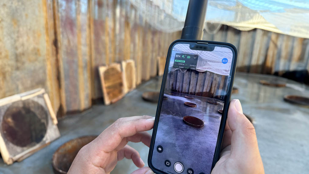
Terrestrial 3D scanning with RTK survey-grade accuracy from your mobile device

Next generation photogrammetry software for professional drone and terrestrial mapping

Explore the compatibility between various drones and different PIX4D software options

Unlock scalability at your organization, with access to dedicated support representatives

Take your mapping knowledge to new heights with our hands-on training courses and extensive range of resources
Learn More