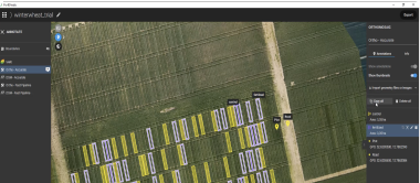
Create and use prescription maps directly with your machinery - no third party software needed
The ultimate agricultural toolkit

In-field or In-office
Rapidly create maps without leaving the field (offline available), for faster decision-making and action.
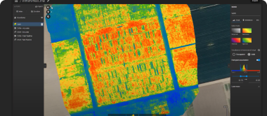
Fast & accurate insights
Get maps of your fields and crops at any stage using satellite and/or drone imagery.

Unique
tools
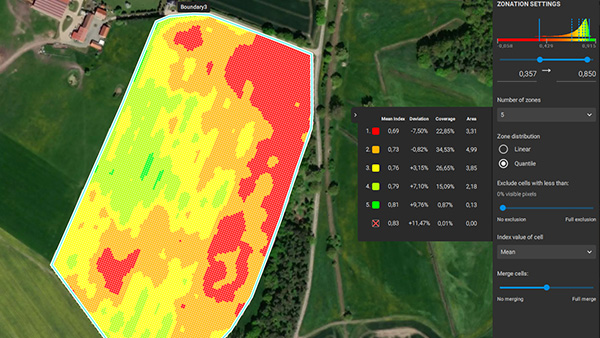
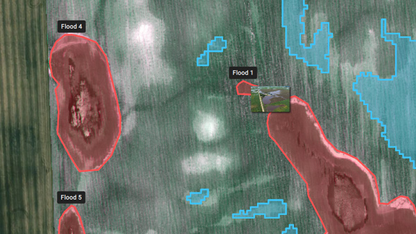
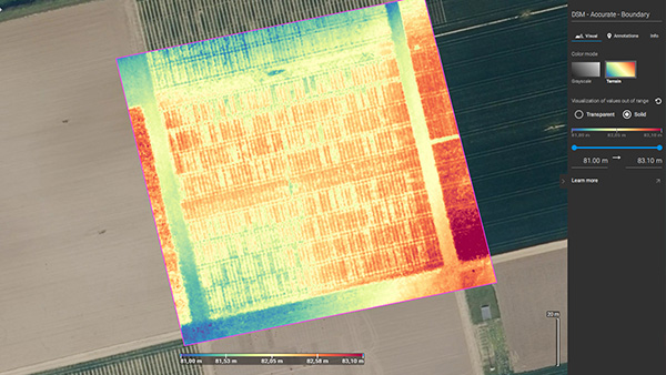
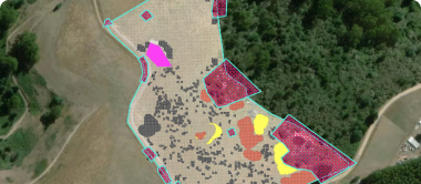
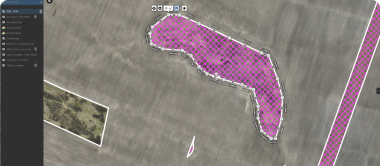
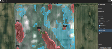
From images to insights, create crop health maps, field reports, spot spraying, and prescription maps for your agricultural machinery.

Easy
sharing
Share your data via PIX4Dcloud as PDF reports and in industry standard formats.
Applications
Inspect, analyze and visualize
your crop changes all year round
Fast processing - Accurate processing
Process imagery with the PIX4Dfields instant processing engine and achieve results in minutes in-office and in-field. No internet required.
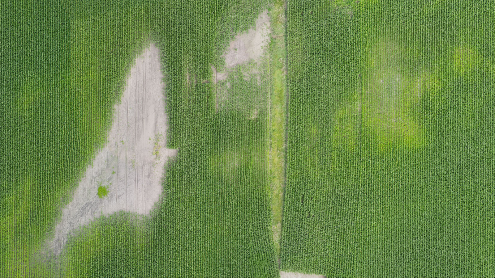
Create and analyze real time maps of your crops to enhance your agriculture workflow
Easily scout your farm and generate the appropriate output for your needs