Capture
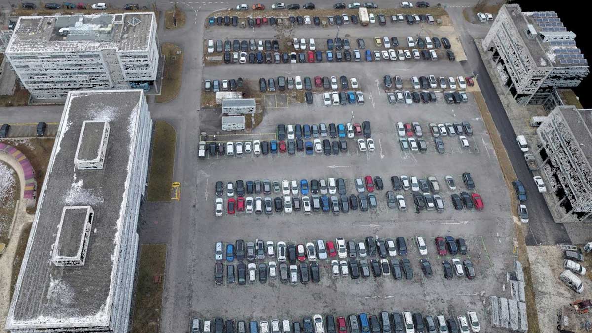
Capture RGB, thermal, or multispectral images with any camera or drone and import them to PIX4Dmapper.
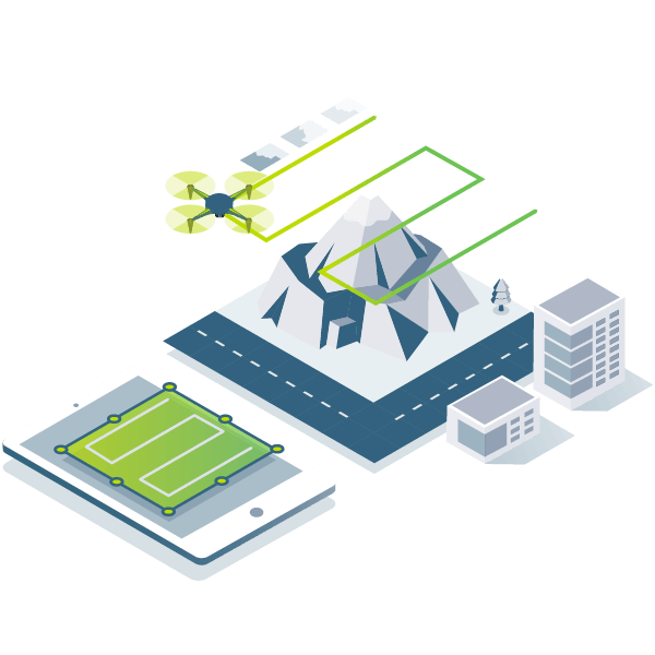
Capture RGB, thermal, or multispectral images with any camera or drone and import them to PIX4Dmapper.
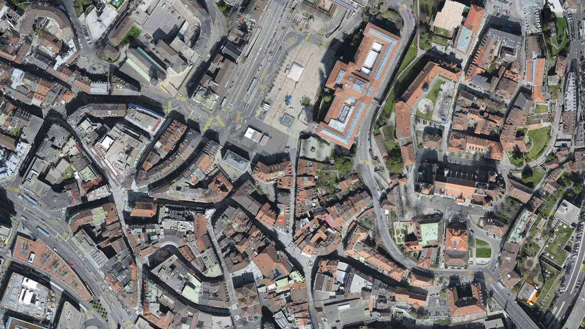
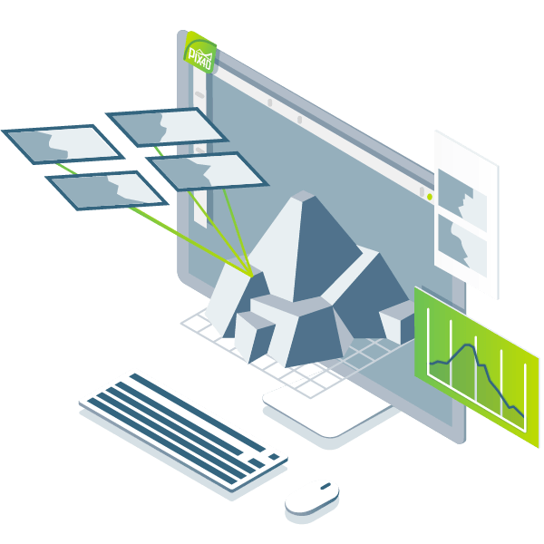
PIX4Dmapper's photogrammetry algorithms transform your ground or aerial images in digital maps and 3D models.
Seamlessly process your projects on your desktop using our photogrammetry software, or bundle with PIX4Dcloud for online processing.

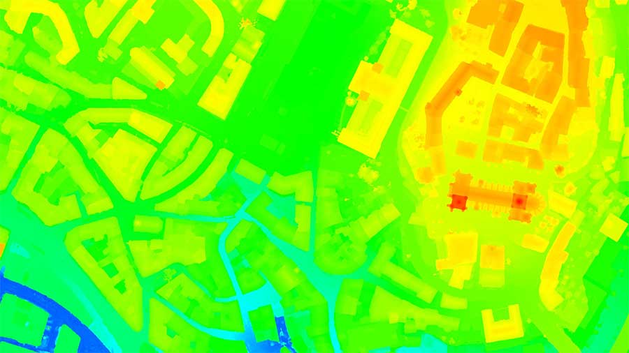
Use the power of photogrammetry in the rayCloud environment to assess, control and improve the quality of your projects.
Use the quality report to examine a preview of the generated results, calibration details, and many more project quality indicators.
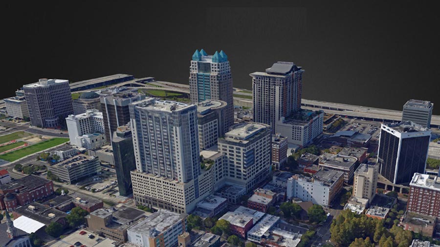
Accurately measure distances, areas, and volumes.

Streamline project communication and teamwork. Selectively and securely share project data and insights, with your team, clients, and suppliers, using standard file formats.


Obtain results with sub-centimetre accuracy thanks to photogrammetric analysis. 1-2 pixel GSD in X, Y directions 1-3 pixels GSD in the Z direction

Define an area of interest, select processing options, add ground control points or edit point clouds, DSMs, meshes, and orthomosaics.

Use default templates for automatic processing of your projects, or create your own with custom settings for full control over the data and quality.
 RGB images
 Any drone image
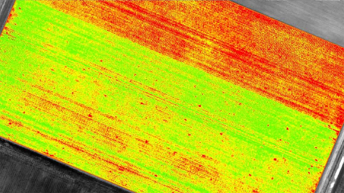
 Multispectral images
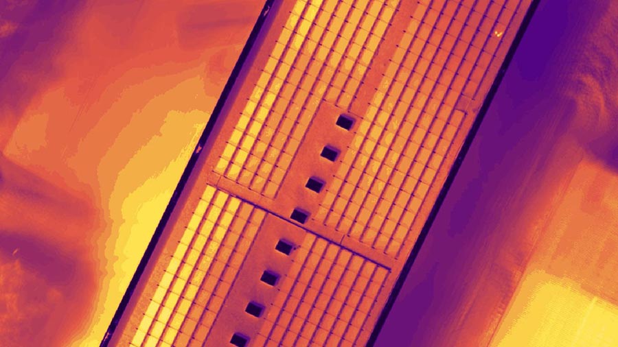
 Thermal images
 Fisheye images
 360° camera images
 Camera rig images
 Videos