Are you ready to go big?
The optimized software for the next surveying and mapping challenges

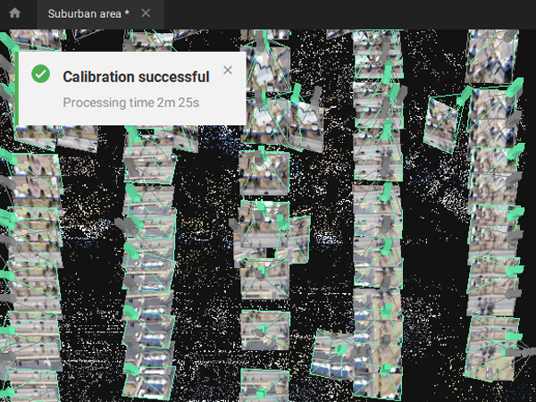
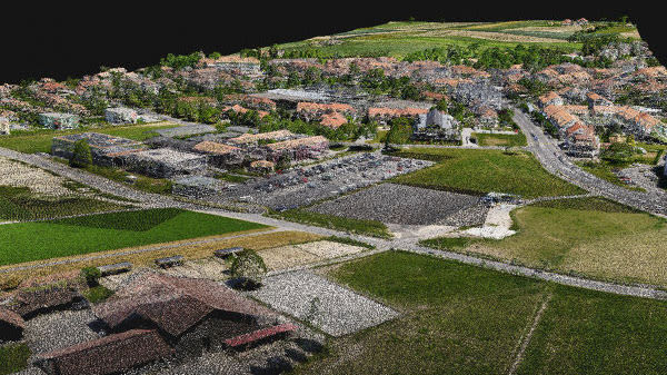
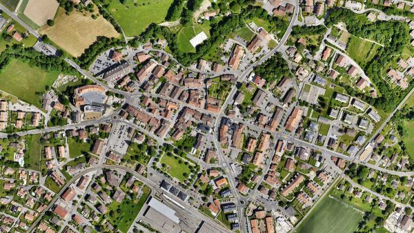
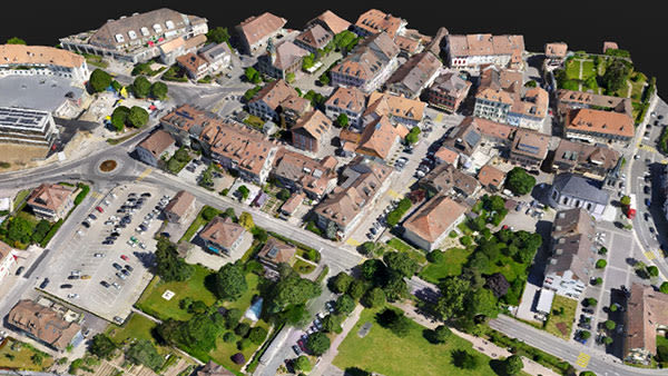
Bigger datasets, accurate results
PIX4Dmatic processes thousands of images while maintaining survey-grade accuracy, halving the processing time, without the trouble of splitting and merging.

Fully automated processing
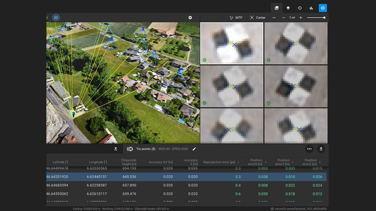
Developed in close-collaboration with surveyors and mapping professionals to streamline your workflow: import, process and assess the quality of a project in just a few clicks, and move seamlessly from PIX4Dmatic to PIX4Dsurvey.

Terrestrial workflow
Leverage the benefits of both photogrammetry and LiDAR technology. Process LiDAR and RGB image outputs from PIX4Dcatch for a full terrestrial workflow. Easy and desktop-based.
Accurate 3D maps and models
from thousands of images
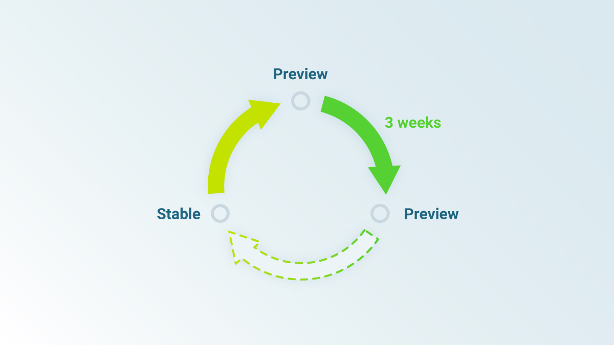
FAST PROCESSING
Handling and processing large amounts of data is easy with PIX4Dmatic. Get your results up to 50% faster, while keeping a survey-grade accuracy.
Essential outputs, in a fraction of the time
without compromising accuracy
Point cloud
Generate a dense point cloud, create a depth point cloud or fuse them according to the needs of your project and create the best reconstruction possible.
Export formats:
.laz
.las (1.2 and 1.4)
.xyz
Point cloud
Create orthomosaics that are geometrically corrected such that the scale is uniform. They are color balanced in order to be visually pleasing.
Export formats:
.tiff (GeoTIFF)
.jpg (Georeferenced with .jgw)
.tfw
.prj
Digital surface model (DSM)

Generate a digital representation of all objects in the mapped area. It includes natural features as well as elevated objects, like buildings.
Export formats:
.tiff (GeoTIFF)
.jpg (Georeferenced with .jgw)
.tfw
.prj
Mesh
Generate a 3D textured mesh by defining the texture size and decimation criteria and view it either in textured or shaded mode.
Export formats:
.obj
.slpk
Cesium 3D Tiles
.laz
Mesh
Seamless export of processed projects into PIX4Dsurvey to transform point clouds into actionable CAD-ready data. Pix4D's proprietary .bpc file format is optimized for loading and manipulation of big point clouds.
Export formats:
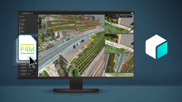
.p4m